Regional Map:

Country Specific Map:

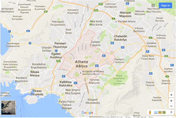
Google Map Zoom of Capital City: Athens
Facts:
Total Area: 50,949 sq miles
Total Land Area: 50,443 sq miles
Total Water Area: 506 sq miles
United States is 74 times bigger than Greece
Border Countries: Albania, Bulgaria, Turkey, Republic of Macedonia
Water Borders: Ionian Sea, the Mediterranean Sea, the Sea of Crete, the Thracian Sea and the Aegean Sea
Total Distance of all Land Boundaries: 763 miles
Total Distance of Coastline: 8497 miles
Climate: Mediterranean Climate. Very mild, has only hot and dry summers and cool, wet winters. Dry so it doesn't get much precipitation. Terrain: Rocky, and about 20% is made up of islands
Lowest Elevation: Mediterranean Sea (0ft)
Highest Elevation: Mount Olympus (9570 feet)

Mount Olympus

Mount Ida
